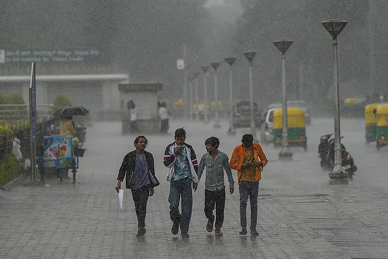
• Chennai has witnessed four days of heavy rain due to Cyclone Ditwah and its remnant low‑pressure system over Tamil Nadu.
• IMD shifted Chennai from an orange alert to a yellow alert but continues to warn of moderate rain, thunderstorms, and lightning in parts of the city.
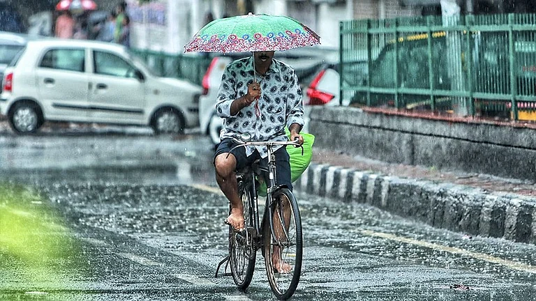
• Today’s forecast indicates cloudy skies, light to moderate rain in pockets, and below‑normal day temperatures around 27–29°C with humid nights near 23–25°C.
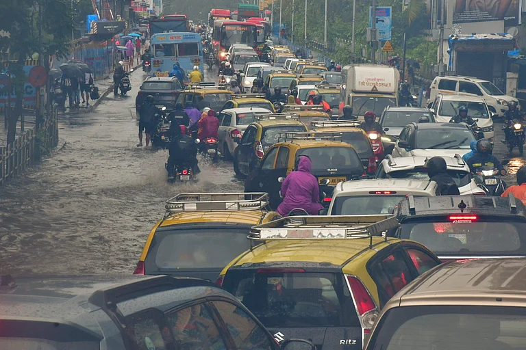
• North Chennai and several low‑lying areas remain affected by waterlogging, traffic disruption, and continuous pumping to clear stagnant water.
• December is a core Northeast Monsoon month, and Cyclone Ditwah has front‑loaded much of the seasonal rainfall, keeping Chennai close to or slightly above its usual average.
Chennai and nearby districts have just come through a four‑day spell of heavy rain driven by Cyclone Ditwah and its remnant low‑pressure area over Tamil Nadu. The system kept rain bands anchored over the north coastal belt, leading to prolonged showers, waterlogging, and local disruption, especially in North Chennai.
IMD Alerts for Chennai
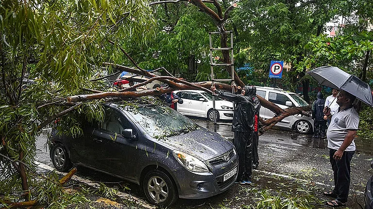
At peak intensity, the IMD placed Chennai, Tiruvallur, Kancheepuram, and Chengalpattu under an orange alert for heavy to very heavy rain with thunderstorms and lightning. As the system weakened inland, the warning level was downgraded to a yellow alert, but the IMD continues to flag the risk of light to moderate rain, thunder, and lightning at isolated locations in and around the city. Marine advisories also urged fishermen to stay away from rough sea stretches during the most active phase when wind speeds reached 45‑55 kmph.
Today’s Weather and Temperature
For today, Chennai is expected to see generally cloudy skies with brief spells of light to moderate rain in some pockets as the influence of Cyclone Ditwah gradually fades. Day temperatures are a few degrees below the early‑December norm, with maximums around 27–29°C, while minimums hover near 23–25°C in humid, slightly muggy conditions. The combination of saturated ground, weak winds, and lingering cloud cover is helping to keep afternoons noticeably cooler than usual.
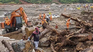
Rainfall Impact, Waterlogging, and Civic Response
North Chennai’s low‑lying stretches remain the worst‑affected, with areas like Manali (23 cm), Ennore (21 cm) and Wimco Nagar (20 cm) recording exceptionally heavy totals. Prolonged showers flooded streets, underpasses and interior roads, and in some colonies, water entered homes, forcing residents to navigate knee‑deep stretches while civic teams pumped water into the Buckingham Canal. The Ganesapuram subway in Vyasarpadi stayed inaccessible for days, and continuous pumping operations aimed to restore normal traffic and reduce health risks from standing water.
December Weather and Monsoon Context
December is a core Northeast Monsoon month for Chennai, typically marked by multiple rainy days and significant cumulative rainfall supported by easterly waves and occasional cyclonic systems. This year, Cyclone Ditwah has front‑loaded much of that rain, helping erase earlier deficits and pushing Chennai close to or slightly above its seasonal average. As the system loses strength, forecasts point toward a more typical December pattern: fewer intense spells, the possibility of light to moderate showers on some days, and a gradual trend toward more comfortable, partly cloudy conditions.