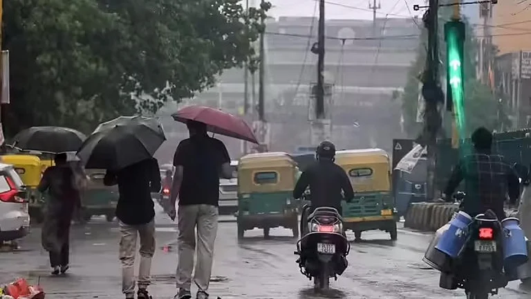
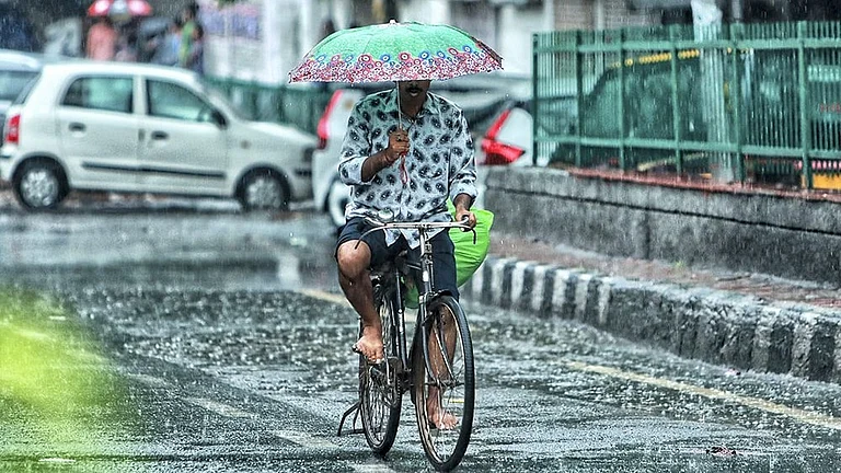
Red alert in Chennai: IMD issues red alert for Chennai, Tiruvallur, Chengalpattu, Kancheepuram; extremely heavy rain expected.
Cyclone Ditwah impact: System weakens to deep depression; stalls near coast causing continuous heavy rainfall, waterlogging.
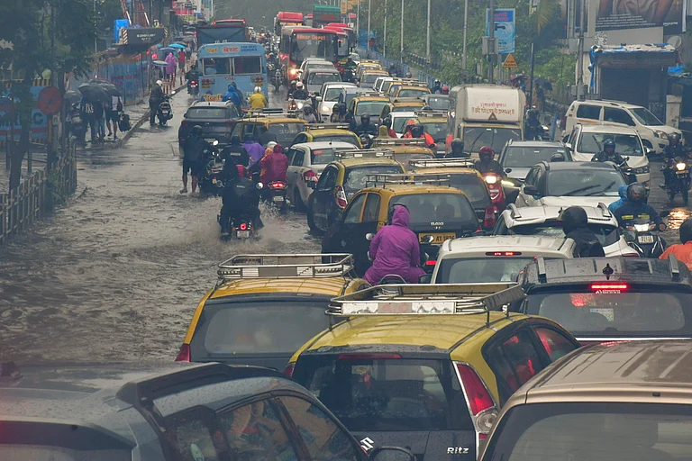
Heavy rains in Chennai: Parrys records 26.52 cm, Ennore 26.43 cm; several areas exceed 20 cm in 24 hours.
Schools closed: Chennai, Tiruvallur, Kancheepuram schools and colleges remain shut on December 2 for student safety.
The India Meteorological Department (IMD) has issued a red alert in Chennai and surrounding districts as the remnants of Cyclone Ditwah continue to batter the city with extremely heavy rainfall. The cyclonic storm, which has now weakened into a deep depression, stalled dangerously close to the north Tamil Nadu coast, just 35 kilometers away, triggering intense and continuous downpours across Chennai, Tiruvallur, Chengalpattu, and Kancheepuram. The Regional Meteorological Centre (RMC) upgraded its warning from orange to red on Monday afternoon as rainfall intensified beyond forecasts.
The Chennai weather update shows that several parts of the city recorded over 20 cm of rain within 24 hours, leading to severe waterlogging, traffic disruptions, and flooding in low-lying areas. Schools and colleges have been ordered to remain closed on December 2 as a precautionary measure. Authorities have deployed high-capacity pumps and disaster response teams to manage the crisis, while residents have been urged to stay indoors and avoid unnecessary travel.
Cyclone Ditwah Impact: Stalled System Drenches Chennai
The cyclonic storm Ditwah update indicates that the system has taken an erratic path, defying earlier predictions. After weakening into a deep depression over the Bay of Bengal, the system recurved southwestwards and stalled near the Chennai coast for nearly 24 hours. This unexpected behavior resulted in prolonged and intense rainfall as moisture-laden cloud bands continuously streamed over the city. According to the IMD, the depression is expected to weaken further into a well-marked low-pressure area within the next 12 hours, but not before delivering more heavy spells. Weather experts noted that the system's proximity and slow movement have been the primary reasons for the excessive rainfall, making forecasting particularly challenging.

Record Rainfall and Flooding
The heavy rains in Chennai have broken several records, with multiple areas exceeding the 20 cm mark in just 24 hours. Data from the Greater Chennai Corporation's Integrated Command and Control Centre (ICCC) shows that Parrys recorded the highest rainfall at 26.52 cm, followed closely by Ennore at 26.43 cm. Other severely affected areas include Ice House (23.13 cm), Basin Bridge (20.76 cm), and New Manali Town (20.66 cm). The continuous downpour has caused widespread waterlogging, with roads flooding repeatedly even after pumping operations. The Chennai weather alert warns that conditions will remain unsettled through December 3, with moderate to heavy rain continuing across the region. Residents are advised to follow official advisories and report emergencies to the disaster management helplines.