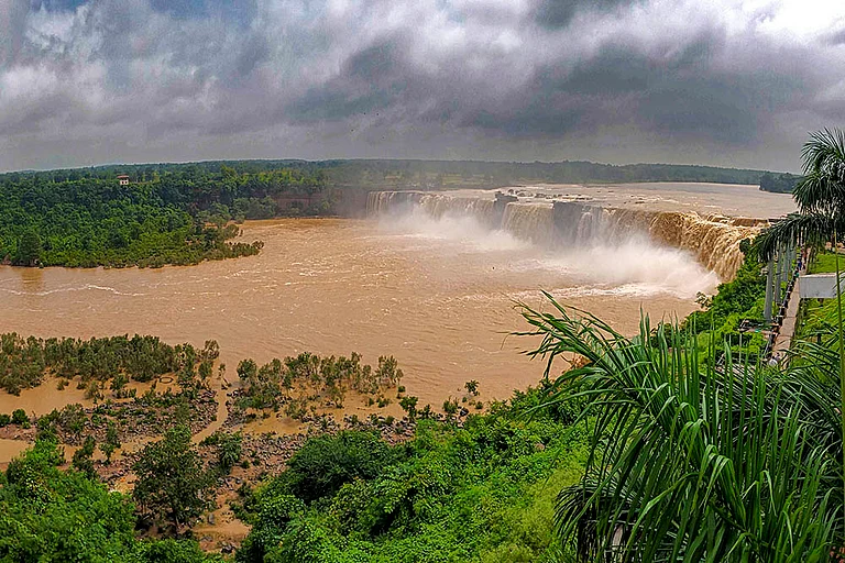
Cloudbursts are sudden and intense rainfall that occurs in a small area within a very short time. In 2024 alone, India recorded over 50 cloudburst incidents, primarily in Uttarakhand and Himachal Pradesh, resulting in more than 400 casualties and affecting over 200 villages. A cloudburst is defined by the India Meteorological Department as rainfall exceeding 100 millimeters per hour over just 20–30 square kilometers, equivalent to more than two billion liters of water falling in sixty minutes. Recent decades have seen a concerning rise in short-span high-intensity rain occurrences, with increases of five events per decade along India’s west coast and one per decade in the western Himalayan foothills between 1969 and 2015. This article provides a cloudburst explained in simple terms, covering what a cloudburst is, why cloudbursts happen, and the causes of cloudbursts in mountainous areas, while also looking at how climate change is making them more frequent in high-altitude regions.
Understanding Cloudbursts: Definitions and Characteristics
So, what is a cloudburst? A cloudburst is defined meteorologically as an exceptionally heavy precipitation event, delivering more than 100 millimeters (mm) of rain within one hour over a localized region. Unlike common rainfall, cloudbursts in mountains are highly concentrated both in time and space, often spanning only a few square kilometers but releasing enormous volumes of water in minutes. This rapid release overwhelms natural drainage, leading to swift water accumulation, flash floods, and mudflows. The term cloudburst stems from the notion that the cloud’s moisture-laden content “bursts” suddenly, releasing all its condensed water in a violent downpour.
Some key characteristics of cloudbursts are:
Very high rainfall intensity (100–200 mm in under an hour)
Short duration, usually less than an hour
Strong local impact, often only a few kilometers wide
Often comes with thunder, lightning, and powerful winds

The Mechanism: Why Do Cloudbursts Happen?
At its core, a cloudburst happens when warm, moisture-rich air rises rapidly and condenses. Two processes drive this uplift:
Orographic Lifting: Moist air forced up steep mountain slopes cools adiabatically, condensing into towering cumulonimbus clouds.
Convective Instability: Surface heating generates strong updrafts that combine with terrain lifting, allowing water droplets and ice crystals to accumulate until they fall suddenly.

Why Are Cloudbursts More Common in Mountain Regions?
Mountain landscapes naturally make cloudbursts more likely. Here’s why:
Steep Terrain: Rapidly rising air over slopes boosts cloud formation.
Narrow Valleys: Clouds can get trapped, releasing huge amounts of rain in one place.
Localized Storm Cells: Mountains create small, isolated storm systems that can unleash intense rain without moving away.
Monsoon Winds: In India, moisture-laden winds from the Arabian Sea hit the Himalayas and Western Ghats, often triggering orographic rainfall and sometimes cloudbursts.
That’s why states like Uttarakhand, Himachal Pradesh, and Sikkim often report deadly cloudbursts. The 2013 Uttarakhand floods, worsened by multiple cloudbursts, are one tragic example.
Climate Change Impact on Cloudbursts
Scientists warn that climate change is making cloudbursts worse. Warmer air can hold more moisture, about 7% more water vapor for every 1°C rise in temperature. This means when it rains, it can pour much harder. Studies show extreme cloudburst events in the Himalayas have increased by 20 percent since 2000. As a result, cloudburst in India poses escalating risks to mountain communities.
Other climate-related factors include:
More moisture from warmer oceans feeds stronger storms.
Unstable atmosphere due to higher surface heating, creating stronger updrafts.
Shifting monsoon patterns, leading to sudden and intense rainfall episodes.
Though long-term data on cloudbursts in India is limited, climate models suggest that extreme rainfall events are becoming more frequent in South Asia.
Implications and Preparedness
Given the sudden nature of cloudbursts, early warning and preparedness are vital:
High-Resolution Forecasting: Fine-scale weather models improve short-term cloudburst predictions.
Real-Time Monitoring: Doppler radars, satellites, and automated rain gauges detect storm cell formation.
Local Alerts: Sirens and river-level sensors in vulnerable valleys expedite evacuations.
Community Education: Recognizing cloudburst signs, dark cumulonimbus clouds, rapid wind shifts, and sudden temperature drops promotes swift action.
Infrastructure Resilience: Reinforced bridges, culverts, and embankments mitigate flash flood damage.
Conclusion
Cloudbursts are one of nature’s most intense rain phenomena, defined by extremely high rainfall rates over a small area in a short time. While mountains naturally create conditions for cloudbursts, climate change is worsening the situation by making cloudbursts more severe and frequent.
Understanding cloudbursts, causes of cloudbursts, and why cloudbursts happen is crucial for enhancing forecasting capabilities and strengthening community resilience in vulnerable mountain zones.


