Himachal Pradesh's Chamba district experienced twin earthquakes in the early hours of Wednesday, August 20, 2025, adding to the state's ongoing monsoon-related challenges. The back-to-back tremors occurred within just over an hour, causing panic among residents but fortunately no casualties or property damage have been reported.
Details of the Earthquake Events
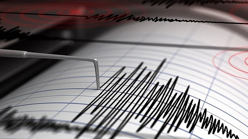
According to the National Center for Seismology (NCS), the first earthquake with magnitude 3.3 on the Richter scale struck at 3:27 AM IST. The tremor's epicenter was located at coordinates 32.87°N latitude and 76.09°E longitude, with a depth of 20 kilometers.
The second and stronger earthquake measuring 4.0 magnitude hit at 4:39 AM IST, approximately one hour and 12 minutes after the first tremor. This quake had its epicenter at 32.71°N latitude and 76.11°E longitude at a shallower depth of 10 kilometers. The reduced depth made the second earthquake more intensely felt on the surface despite the relatively small magnitude difference.
Official Monitoring and Response
The NCS immediately posted official updates on their social media platform X (formerly Twitter), providing precise coordinates and technical details of both seismic events. The agency's posts included references to their BhooKamp mobile application for public access to earthquake information.
No emergency response was triggered as both earthquakes fell within the mild to moderate category. Local authorities confirmed no structural damage to buildings, roads, or infrastructure in the affected areas.
Regional Seismic Context
Chamba district, along with most of Himachal Pradesh, falls under Seismic Zone V, classified as a "high damage risk zone" according to Indian seismic zonation maps. The region is particularly vulnerable due to its location in the seismically active Himalayan belt, where tectonic stress accumulation makes frequent earthquakes common.


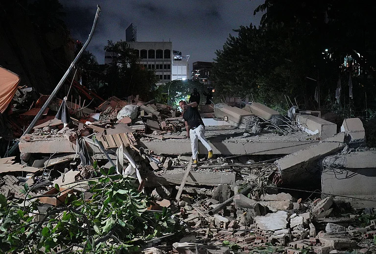

Recent seismic activity in the region includes a 3.9 magnitude earthquake that struck Kangra district on August 18, 2025, near Dharamshala. The area has witnessed several tremors in recent months, with earthquakes of magnitude 4.1 recorded in July and 3.5 magnitude events along the Chamba-Kangra border.

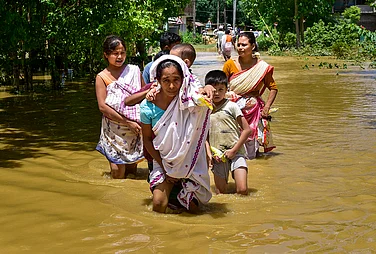
Ongoing Monsoon Crisis in Himachal
The twin earthquakes occurred amid Himachal Pradesh's severe monsoon crisis. Since June 20, 2025, the state has experienced devastating weather-related disasters, with the death toll reaching 276 people due to flash floods, cloudbursts, and landslides. The monsoon fury has caused widespread infrastructure damage, including 1,104 fully damaged homes, 37 destroyed shops and factories, and over 27,552 livestock deaths.
Currently, 357 roads across the state remain closed for vehicular traffic, with 179 closures in Mandi district and 105 in Kullu district. The meteorological department has issued yellow warnings for heavy rainfall at isolated places until August 25, except for August 20-21.

Earthquake: Preparedness Measures
Himachal Pradesh maintains robust earthquake preparedness protocols through the Himachal Pradesh State Disaster Management Authority (HPSDMA). The state recently conducted its 9th State-Wide Mega Mock Exercise on Earthquake Preparedness on June 6, 2025, involving 109 simulation sites across all districts. Seven permanent seismological observatories currently monitor seismic activity throughout the state, with plans to expand the national network by 100 additional stations.
The region's earthquake monitoring infrastructure includes coordination between central agencies like the National Disaster Response Force (NDRF), Indian Army, and state-level emergency response teams. Building codes following Bureau of Indian Standards (BIS) guidelines are enforced to ensure earthquake-resistant construction in this high-risk seismic zone.