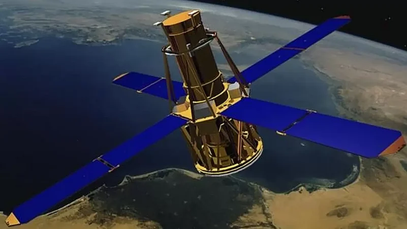
The 'NASA-ISRO Synthetic Aperture Radar' (NISAR), an earth observation satellite, will help researchers explore how changes in Earth’s forest and wetland ecosystems are affecting the global carbon cycle and influencing climate change.
The satellite is an outcome of a collaboration between the American space agency NASA and Indian Space Research Organisation (ISRO).
Once it launches in early 2024, the NISAR radar satellite mission will offer detailed insights into two types of ecosystems – forests and wetlands – vital to naturally regulating the greenhouse gases in the atmosphere that are driving global climate change, NASA's Jet Propulsion Laboratory (JPL) has said.
When in orbit, NISAR's sophisticated radar systems will scan nearly all of Earth’s land and ice surfaces twice every 12 days, it said. "The data it collects will help researchers understand two key functions of both ecosystem types: the capture and the release of carbon."
Noting that forests hold carbon in the wood of their trees; wetlands store it in their layers of organic soil, JPL said disruption of either system, whether gradual or sudden, can accelerate the release of carbon dioxide and methane into the atmosphere.
Tracking these land-cover changes on a global scale will help researchers study the impacts on the carbon cycle – the processes by which carbon moves between the atmosphere, land, ocean, and living things, it said.
"The radar technology on NISAR will allow us to get a sweeping perspective of the planet in space and time," NISAR project scientist at NASA’s JPL in Southern California -- Paul Rosen said.
"It can give us a really reliable view of exactly how Earth’s land and ice are changing," he said.
NISAR is an equal collaboration between NASA and ISRO and, for the first time, the two agencies have cooperated on hardware development for an Earth-observing mission.
JPL, which is managed for NASA by the California Institute of Technology (Caltech) in Pasadena, leads the US component of the project and is providing the mission’s L-band SAR.
NASA is also providing the radar reflector antenna, the deployable boom, a high-rate communication subsystem for science data, GPS receivers, a solid-state recorder, and payload data subsystem.
ISRO’s U R Rao Satellite Centre in Bengaluru, which is leading the ISRO component of the mission, is providing the spacecraft bus, the S-band SAR electronics, the launch vehicle, and associated launch services and satellite mission operations.


