Heavy rain warnings have been issued for multiple districts with an orange alert through September 22
89% excess rainfall recorded this week as the retreating monsoon intensifies precipitation
Lightning and thunderstorm risks persist across all districts, with isolated intense spells.
25% surplus monsoon rainfall was recorded statewide compared to normal levels
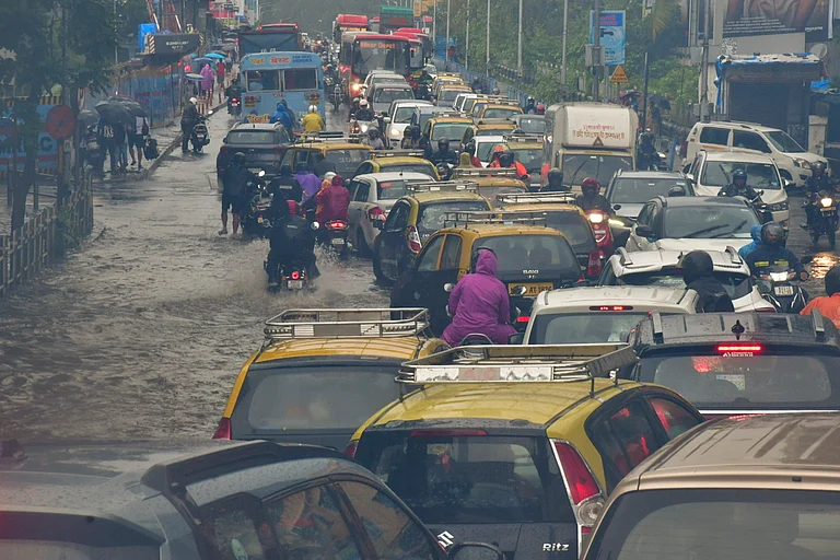
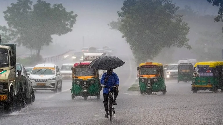
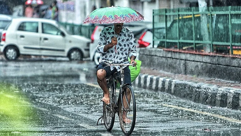
Uttarakhand faces continued heavy monsoon activity on Friday, September 19, 2025, as the India Meteorological Department extends weather warnings across multiple districts. The state recorded 89% excess rainfall over the past week with 87.5mm precipitation, marking one of the most active phases of the retreating monsoon.
Current Weather Warnings and District Alerts
The IMD has issued orange alerts for Dehradun, Pauri, Nainital, Bageshwar, Tehri, and Haridwar districts today, warning of heavy to very heavy rainfall with thunderstorms and lightning. Yellow alerts remain active for Uttarkashi, Chamoli, and Rudraprayag districts, indicating the possibility of intense rainfall spells at isolated places.
District-wise rainfall from the past 24 hours shows Narendranagar recording the highest 175mm, followed by Mussoorie at 117mm and Dehradun city at 83mm. Other significant measurements include Haripur (69.8mm), Rishikesh (44.2mm), and Jollygrant (25.8mm). The retreating monsoon continues bringing moisture-laden clouds that interact with the Himalayan topography, creating localized extreme precipitation events.
Weather warnings extend through September 22, with thunderstorms accompanied by lightning and intense to very intense rainfall spells expected at isolated places across all districts. The IMD specifically warns of heavy rain/thunderstorm activity that may trigger flash floods and landslides in vulnerable areas.

Temperature and Atmospheric Conditions
Dehradun recorded a current temperature of 24°C with 100% humidity and light winds at 5.6 kmph. Maximum temperatures across the state range between 23-34°C, while minimums stay around 12-23°C depending on elevation and rainfall intensity. The atmospheric pressure remains stable despite active weather systems, indicating sustained monsoon circulation patterns.

Rainfall forecast shows widespread to fairly widespread light to moderate rain expected today across all districts, with many places in Dehradun, Bageshwar, Pithoragarh, Champawat, and Udham Singh Nagar likely to receive moderate to heavy showers.

Extended Forecast Through September 25
The 7-day IMD forecast indicates continued monsoon activity with scattered to fairly widespread rainfall expected through September 25:
September 20: Light to moderate rain at many places in Pauri, Dehradun, Nainital, and Pithoragarh, and a few places elsewhere
September 21-22: Scattered rainfall at isolated places in Haridwar and Udham Singh Nagar, a few places in the remaining districts
September 23-25: Many places in hill districts , including Uttarkashi, Rudraprayag, Chamoli, Bageshwar, Champawat, and Pithoragarh, will experience light to moderate rain

Monsoon Statistics and Regional Impact
Uttarakhand has recorded 25% surplus rainfall this monsoon season compared to normal levels, with the state receiving 1375.9mm between September 1-16 against the normal 1108.8mm. The northwestern region of India has been particularly wet, recording 34% surplus rainfall in August and more than 30% surplus for the entire season.
Multiple weather systems, including upper air cyclonic circulation over east Bihar and adjoining areas, continue influencing the region. The interaction between easterlies and westerlies over the Himalayan belt creates conditions conducive to heavy precipitation and orographic enhancement of rainfall.
Residents should remain vigilant for flash floods, landslides, and swollen rivers as the active monsoon phase continues. Travel advisories recommend avoiding landslide-prone areas and flood-susceptible routes until weather conditions stabilize after September 22.