Tamil Nadu weather today is impacted by the deepening Bay of Bengal system; heavy rain is forecast for Ramanathapuram, Pudukkottai, and the Delta districts.
IMD alert issued for very heavy rainfall in coastal districts from November 28-30; orange alert likely for Chennai and neighboring areas.
Cyclone Senyar, forming near the Malacca Strait, is unlikely to directly impact Tamil Nadu but will influence moisture levels.
Tamil Nadu rain alert active; fishermen advised against venturing into sea due to squally winds reaching 40-50 kmph.
The Tamil Nadu weather today is heavily influenced by an intensifying weather system over the southwest Bay of Bengal, bringing prospects of significant precipitation to the coastal state. According to the latest T.N. weather news, a well-marked low-pressure area near the Sri Lankan coast is poised to concentrate into a depression within the next 24 hours, moving north-northwestwards toward the Tamil Nadu-Puducherry coast.
The India Meteorological Department (IMD) has issued a comprehensive Tamil Nadu rain alert, forecasting isolated heavy rainfall for southern and delta districts starting today, November 27. While the IMD alert highlights the developing Cyclone Senyar over the Strait of Malacca, meteorologists confirm this specific system is unlikely to make a direct impact on the state, though it contributes to the broader atmospheric instability. Residents in coastal regions are witnessing cloudy skies and intermittent showers, with intensity expected to escalate significantly over the coming 48 hours.
Heavy Rainfall Warning and District Alerts
The Tamil Nadu weather alert specifies that heavy rain is likely today in isolated places over Ramanathapuram, Pudukkottai, Thanjavur, Tiruvarur, and Nagapattinam districts. The situation is expected to intensify from November 28 onwards, with the Regional Meteorological Centre issuing warnings for "heavy to very heavy" rainfall across the Delta districts, Cuddalore, and Mayiladuthurai. The IMD alert for November 29 and 30 is particularly critical, flagging the potential for extremely heavy rainfall in Tiruvarur, Nagapattinam, Chengalpattu, and Villupuram. Chennai, Tiruvallur, and Kancheepuram are also under watch for heavy to very heavy spells during this peak activity window.

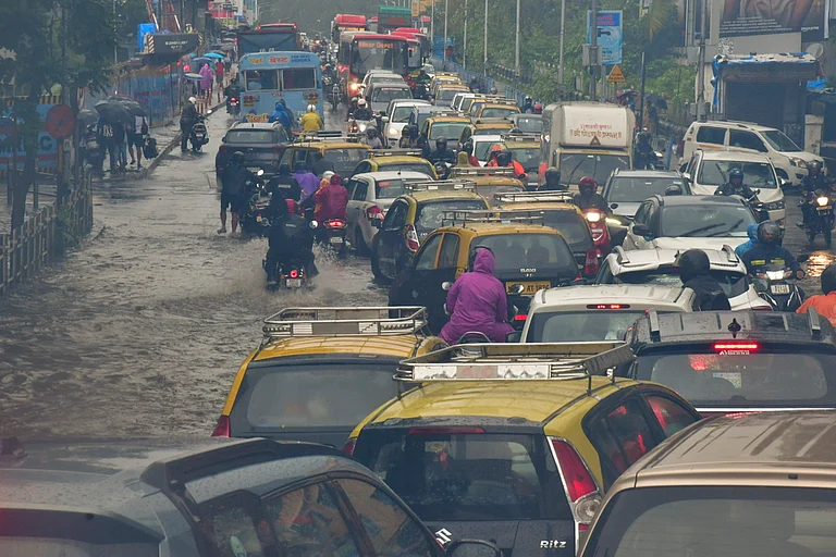

Authorities have urged residents in low-lying areas of the Delta districts to remain vigilant as continuous downpours could lead to localized waterlogging and disruption of daily services.

Cyclone Senyar and Temperature Trends
While the Tamil Nadu rain alert dominates current forecasts, attention is also on Cyclone Senyar, a rare system forming over the Strait of Malacca. Experts clarify that while this cyclone is "historic" due to its location, it will move eastwards away from India, having zero direct landfall impact on Tamil Nadu. However, the active monsoon phase has led to cooler daytime conditions. Although not a technical T.N. cold wave, the persistent cloud cover and rain have brought maximum temperatures down significantly below normal, creating cooler, breezy conditions across the state.
Fishermen have been strongly advised not to venture into the Southwest Bay of Bengal and Gulf of Mannar as squally winds reaching speeds of 45-55 kmph are expected to create rough sea conditions through November 30.