
Congress said the Modi government is “hell-bent” on redefining the Aravallis, questioning whose interests the move serves and warning of ecological damage.
Jairam Ramesh argued the Centre is underplaying mining by using a misleading base figure, saying 0.19% still amounts to 68,000 acres and may be a gross underestimate.
He warned the new definition could open Aravalli hills, including in Delhi-NCR, to mining and real estate, fragmenting a vital ecosystem.
The Congress questioned why the Modi government was "hell-bent" on redefining the mountain range and for whose advantage, stating on Tuesday that the Aravallis are the nation's natural heritage and have significant ecological importance.
Jairam Ramesh, general secretary of the Congress, stated in a post on X that the Environment and Forest Minister's latest 'clarifications' on the ancient mountain range create additional concerns.

"Aravallis are part of our natural heritage and have great ecological value. They need substantial restoration and meaningful protection. Why is the Modi Government hellbent on redefining them? To what end? For whose benefit? "And why are the recommendations of a professional organisation like the Forest Survey of India being deliberately ignored and set aside?" he asked.
Ramesh also said, "The very recent 'clarifications' given by the Union Minister of Environment, Forests, and Climate Change on the Aravallis issue raise even more questions and doubts." The Congress leader, who has been the former Environment Minister, said, the minister says that only 0.19 per cent of the 1.44 lakh sq kms of the Aravallis is presently under mining leases, and this already amounts to 68,000 acres, a vast swath.
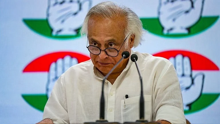


"However, the 1.44 lakh sq kms figure is deceptive - it spans the entire landmass of the 34 Aravalli districts identified by the Ministry in four states. This is the wrong denominator, since the denominator that should actually be used is the area within these districts, which is actually under the Aravallis.
"If the area under the Aravallis is used as a base, then 0.19% will turn out to be a very huge under-estimate," he said.
According to Ramesh, the Aravallis cover 33% of the total terrain in 15 of the 34 districts for which data can be verified.
He stated that it is completely unclear how much of these Aravalli lands will be left out of the new definition and made accessible for mining and other developments.
"If local profiles are adopted as a baseline, as the Minister is suggesting, many 100+ metres high hills will get excluded from protective cover.
"With the revised definition, most hilly tracts of the Aravallis in the Delhi NCR will get opened up for real estate development, adding to environmental stress," he said.
The minister, who is spearheading the effort to redefine the Sariska Tiger Reserve's boundaries to permit mining, ignores a basic concern that the ecological value of what is essentially an interconnected ecosystem will be harmed by fragmentation, he added, adding that such fragmentation is already causing chaos elsewhere.
On Monday, Yadav emphasised that mining is only permitted in 0.19 per cent of the mountain range and accused the Congress of disseminating "misinformation" over the new definition of the Aravallis.
He stated during a news conference that the Narendra Modi administration is still "fully committed" to preserving and rehabilitating the Aravallis.

"The Congress, which allowed rampant illegal mining in Rajasthan during its tenure, is spreading confusion, misinformation, and lies about the issue," the minister alleged.
In November 2025, the Supreme Court accepted a uniform legal definition of what constitutes the Aravalli Hills and Aravalli Range on the recommendation of a committee led by the Environment Ministry.
Under this definition, an "Aravalli Hill" is a landform with an elevation of at least 100 metres above its local surrounding terrain and an "Aravalli Range" is a cluster of two or more such hills within 500 metres of each other.


