Heavy rain forecast for North Coastal AP and Yanam until September 12
Upper air circulation in the Bay of Bengal is driving thunderstorms across the state.
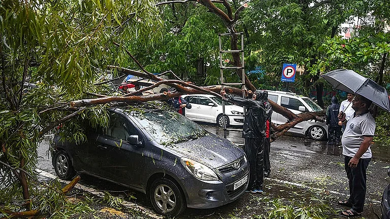
Strong winds 30-40 kmph expected with lightning and thunder activity
Educational institutions closed in four districts as a precautionary measure
The India Meteorological Department (IMD) has issued a comprehensive weather warning for Andhra Pradesh, forecasting heavy rainfall and thunderstorms accompanied by lightning across multiple regions from September 8 to 12, 2025. An upper air circulation over the northwest Bay of Bengal and adjoining west-central Bay of Bengal is driving the intense weather system affecting the state.
Andhra Pradesh Weather Update
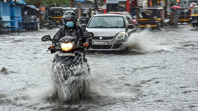
Heavy rainfall is expected at isolated places over North Coastal Andhra Pradesh (NCAP) and Yanam on September 9 and 10, with similar conditions extending to South Coastal Andhra Pradesh (SCAP) on September 10. The weather system will further impact the Rayalaseema region on September 11 and 12.
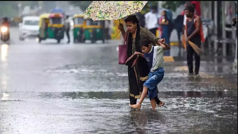
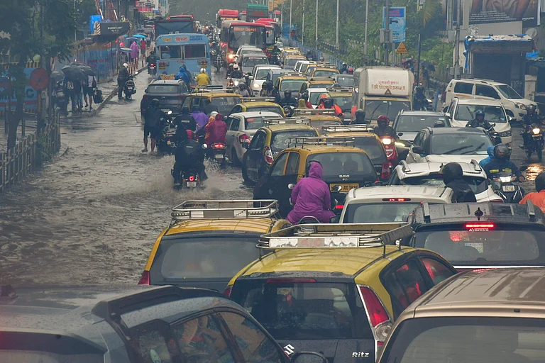
Strong winds with speeds of 30-40 kmph are likely at isolated places across NCAP, SCAP, and Rayalaseema throughout the forecast period. The IMD has specifically warned of thunderstorms accompanied by lightning and strong winds affecting various districts.
Sea conditions remain rough with squally winds reaching 40-50 kmph, prompting advisories for fishermen to avoid venturing into the sea along the Andhra Pradesh coast. Current observations show Visakhapatnam recording 26°C with 98% humidity and southwesterly winds at 9.3 kmph.
Regional Impact and Preparedness
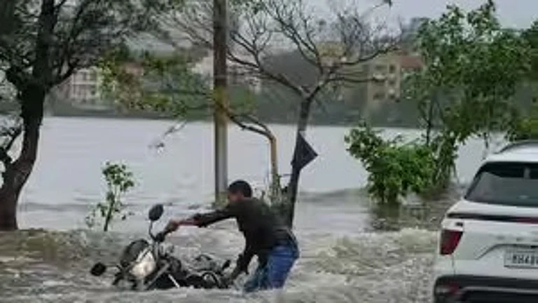
North Coastal districts, including Srikakulam, Vizianagaram, Parvathipuram, Manyam, and Alluri Sitharama Raju, are expected to receive moderate to heavy rainfall with thunderstorms. Recent rainfall data shows Garividi in Vizianagaram recorded 9 cm of rainfall between Monday and Tuesday morning, marking the highest in the state.
Educational institutions have been declared closed on September 9 in Visakhapatnam, Anakapalli, Vizianagaram, and Alluri Sitharama Raju districts as a precautionary measure. District collectors have taken proactive steps to ensure public safety amid the weather warnings.
Chief Minister N. Chandrababu Naidu has alerted district administrations and conducted teleconferences with collectors to monitor the situation. Special attention is being given to Eluru reservoir management, with officials instructed to balance inflow and outflow effectively.
Weather Forecast and Extended Outlook
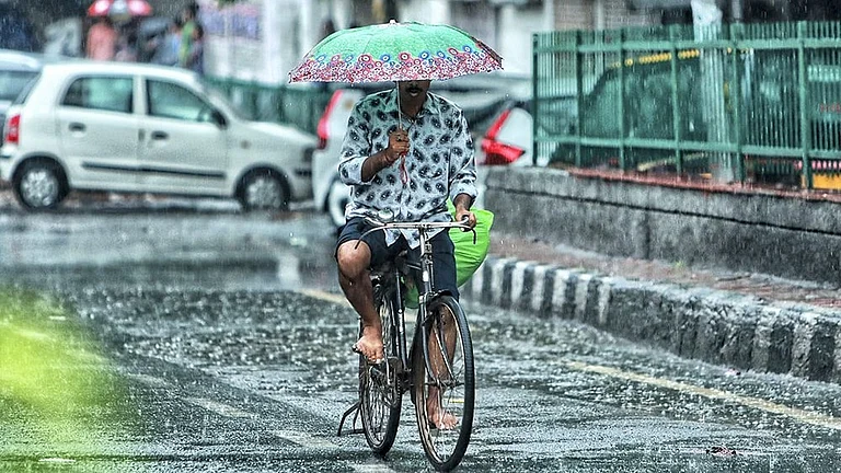
The IMD predicts light to moderate rain or thundershowers at multiple locations across Coastal Andhra Pradesh, Yanam, and Rayalaseema over the next seven days. Thunderstorm activity will be most intense between September 9 and 13, with meteorologists warning of "pressure cooker blast" style thunderstorms.
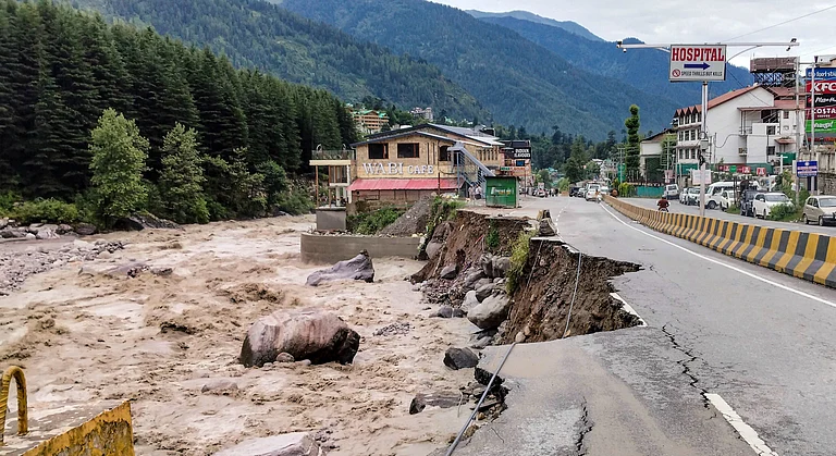
Another low-pressure system is forecast to develop in the Bay of Bengal around September 13, which could strengthen and move towards Andhra Pradesh and Telangana, potentially bringing increased rainfall. This system may result in heavy rains throughout September with flooding possibilities in some areas.
Temperature conditions are expected to remain between 26°C and 31°C across coastal regions, with humidity levels staying high at 89-98%. The monsoon remains normal over Coastal Andhra Pradesh but weak over the Rayalaseema region.
Recent monsoon performance shows Andhra Pradesh has received 371.8 mm rainfall against the normal 369.5 mm between June 1 and August 31, indicating normal precipitation for the season. However, the state continues to face challenges from erratic rainfall patterns affecting agricultural operations.
Authorities have deployed NDRF and SDRF teams with boats and emergency equipment, maintaining readiness for potential flood situations. Residents are advised to monitor weather updates regularly and avoid vulnerable areas during the forecast period.