A report from the Indian Space Research Organisation’s (ISRO) National Remote Sensing Centre(NRSC), Hyderabad which showed the land subsidence in Uttarakhand's Joshimath has been mysteriously “withdrawn”.
The Joshimath Land subsidence report is not available on the NRSC website anymore as the link to the PDF is not working anymore.
The report compiled by NRSC and ISRO yesterday stated that the Uttarakhand hill town recorded rapid subsidence between December 27, 2022 and January 8, 2023 and sank by 5.4 cm.
What did the report suggest?
Hyderabad-based National Remote Sensing Centre (NRSC) of the Indian Space Research Organisation (ISRO) has released satellite images of Joshimath along with a preliminary report on the sinking town due to land subsidence. The images and reports reveal that the Uttarakhand town has recorded a land subsidence of 5.4cm in the last 12 days, that is from December 27, 2022, to January 8, 2023.
The pictures taken from the Cartosat-2S satellite indicate that the town may sink soon. A 9cm subsidence was recorded in Joshimath between April to November 2022, showing that the sinking has been rapid in the last 12 days. The NSRC said that a rapid subsidence event was triggered between December last week and January first week.
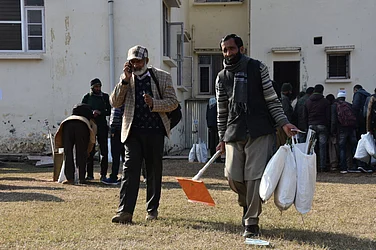
The entire town of Joshimath, including the Army helipad and the Narasimha temple, has been marked as a sensitive zone in the satellite images. The Uttarakhand government on the basis of the report is conducting rescue operations and emergency evacuations in the danger-prone zone. As per media reports, the subsidence zone is located at central Joshimath only including the Army Helipad and Narsingh Mandir, the satellite images revealed. The crown of the subsidence is located near Joshimath-Auli road at a height of 2,180m.
(With PTI Inputs)


