Summary of this article
IMD alert Jammu Kashmir heavy snowfall in the Valley, higher reaches on January 23.
J&K snowfall warning, Kargil Srinagar 2-10cm NH-44 closures expected.
Jammu Kashmir temperature forecast -2°C/-8°C Valley cold wave frost.
IMD snowfall alert J&K thunderstorms hail gusts 40 kmph preparedness.
The India Meteorological Department (IMD) has issued a snowfall and weather warning for Jammu & Kashmir ahead of a significant winter weather spell driven by active Western Disturbances affecting the Western Himalayan region from January 22 to January 26, 2026. The forecast calls for fairly widespread to widespread rainfall and snowfall, with isolated heavy snow most likely over the Kashmir Valley on January 22–23 and significant snowfall in higher reaches, including Ladakh.
Snowfall and Weather Forecast
The IMD predicts light to moderate snow at many locations across the Valley and higher elevations, with isolated heavy snow on January 22 and 23. This includes areas such as Zojila Pass, Gulmarg, Kupwara, and parts of the Pir Panjal ranges, which are expected to receive appreciable snow accumulation, potentially 2–10 cm or more in many zones.
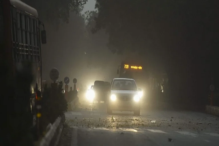
Rain and snow are likely at most places over Jammu & Kashmir, particularly in lower and mid elevations. Thunderstorms, hail, and gusty winds up to 40–50 kmph are expected in parts of the region on January 22 and 23.
Minimum temperatures are forecast to remain well below freezing in the Valley and higher reaches, with plains also experiencing a deep cold wave as winter intensifies during this spell.
Short-Range Forecast Overview
January 23: Peak snowfall expected across the Valley and higher reaches with snow accumulation above 10 cm and winds around 20–30 kmph.
January 24: Snowfall activity begins to taper; some roads may partially reopen, though isolated snow flurries continue.
January 25: Continued cold and scattered snow; generally stable but chilly conditions.
January 26: Weather gradually clears, slight warming trend begins as dry conditions return.
Residents and travellers are advised to monitor IMD hourly bulletins and local advisories for updates, and prepare for deep winter conditions in affected districts.


