Western Madhya Pradesh experiences thunderstorms and lightning on November 3-4; eastern regions on November 4-5
Cyclonic circulation is active over western MP, affecting Bhopal, Jabalpur divisions with drizzle and isolated showers.
Daytime temperatures 30-33°C; nighttime temperatures declining 2-3°C from November 6 onwards, with cold winds
Clear skies dominate from November 6; primarily sunny weather expected through November 8 and beyond
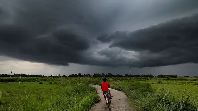
Madhya Pradesh braces for unsettled weather as a cyclonic circulation activates over the western region, bringing thunderstorms and localized drizzle to select districts. The India Meteorological Department forecasts light rain or drizzle likely in parts of Bhopal and Jabalpur divisions through November 4-5. Western Madhya Pradesh will experience more significant thunderstorm activity with lightning from November 3-4, while eastern districts face similar conditions on November 4-5. The IMD weather alert suggests the system could impact multiple districts, including Bhopal, Guna, Vidisha, Raisen, Rajgarh, Sehore, Shajapur, Dewas, Sagar, Narsinghpur, Jabalpur, Mandla, and Seoni, where drizzle may occur at isolated places.
Regional Weather Distribution and Temperature Patterns
Daytime temperatures across Madhya Pradesh continue hovering above 30°C, with most areas recording maximums between 30 to 33°C throughout the state. Night temperatures currently range from 21 to 24°C, depending on location and elevation above sea level. However, from November 6 onwards, cold northern winds will blow intensely across the state, bringing a noticeable 2 to 3°C decline in nighttime temperatures across all districts. This significant temperature drop marks the beginning of a cooler spell extending into the second week of November, signaling the onset of early winter conditions. Gusty winds accompanying thunderstorms may reach 30-40 kmph, creating hazardous conditions during active weather periods and making outdoor travel risky. Central and eastern MP districts, including Chhindwara, Betul, and Pandhurna, may also experience scattered light drizzle at isolated places during this weather system's passage.


Extended Forecast and Weather Transition
After November 5, weather conditions will clear significantly with predominantly sunny skies expected from November 6 onwards through at least November 8 across the entire state. Daytime temperatures will stabilize around 30 to 32°C while nighttime readings will dip further as cold northern winds intensify, bringing relief from pre-winter heat. This cooler pattern is expected to continue through mid-November, with colder conditions intensifying further after November 15 as winter firmly establishes across the state. Most districts will experience clear, bright skies and abundant sunshine, making conditions ideal for outdoor agricultural activities and harvest operations once the current unsettled spell passes completely.