
Summary of this article
IMD issues a yellow alert for thunderstorms with gusty winds till October 17
Light to moderate rain is expected across Telangana for the next four days
Maximum temperatures 30°C, minimum 22-23°C with high humidity
Waterlogging warning issued for low-lying areas during rainfall
Current Weather Alert
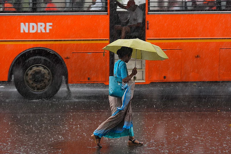
The India Meteorological Department (IMD) has issued a yellow alert for thunderstorms accompanied by lightning and gusty winds of 30–40 km/h across all districts of Telangana, including Hyderabad, from October 14 through October 17, 2025. Today’s forecast for Hyderabad city calls for generally cloudy skies with light rain or thundershowers and winds gusting up to 40 km/h. Maximum temperatures will hover around 30 °C, with lows near 22 °C. Morning and night hours are likely to be misty and hazy, with surface winds shifting from north to northeast at 4–8 km/h.
Hyderabad: Weekly Weather Forecast
October 14–15:
Light to moderate rain or thundershowers are very likely at a few locations statewide, with embedded thunderstorms and lightning affecting every district. Daytime highs will range between 28 °C and 30 °C, and nighttime lows will range between 21 °C and 23 °C.
October 16–17:
Rainfall intensity is expected to ease, with light to moderate showers anticipated at isolated locations. Yellow alerts remain in place for thunderstorms, lightning, and gusty winds in select districts, including Hyderabad, Rangareddy, Medchal Malkajgiri, and surrounding areas.
October 18–20:
Conditions will gradually improve, featuring passing showers and broken clouds. No significant weather warnings are forecast for October 18–19. Temperatures will stabilize around 29–31 °C during the day and 21–22 °C at night.


Rainfall and Thunderstorm Activity
IMD forecasts predict intense thunderstorms in Hyderabad from the afternoon to overnight hours on October 14. Scattered severe thunderstorms are also expected across Central and South Telangana districts—Nalgonda, Suryapet, Khammam, Mahabubabad, Yadadri-Bhongir, Rangareddy, Vikarabad, and Mahabubnagar—between afternoon and night. Yesterday, Bhadradri Kothagudem recorded a season-low maximum of 24.8 °C, while Hyderabad’s Tirumalagiri saw a drop to 28.5 °C, below typical October levels.
Surface wind speeds are forecast to remain below 40 km/h during rainfall events. Authorities warn of possible waterlogging in low-lying areas and traffic congestion due to heavy showers.
Safety Advisory and Precautions
With rainfall risk rated medium to high for the initial days, the IMD warns of waterlogging, traffic snarls, slippery roads, fallen trees or electric poles, and short-term power or water disruptions. Municipal bodies are urged to display alerts prominently and ensure drainage systems are clear. Residents should avoid open spaces during thunderstorms and not seek shelter under trees or near power lines. Travel plans should account for weather-related delays.
Current humidity sits at 88% under calm winds, promoting thunderstorm development. October is expected to bring 3–8 rainy days, totalling 90–150 mm of precipitation. Farmers are advised to protect harvested crops and postpone fertilizer or pesticide applications until heavy rains subside. The overall pattern reflects a typical post-monsoon phase, with isolated heavy spells giving way to clearer skies by the third week of October.