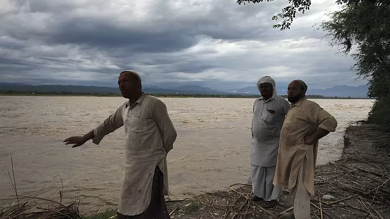
In the wake of heavy rains in Maharashtra's Kolhapur district over the last few days, the water level of the Panchganga river has crossed the warning mark, officials said on Thursday. Residents of six villages located on the river banks have been asked to shift to safer places, they said.
As per the district disaster cell, the level of the Panchganga river at Rajaram weir was at 40.6 feet at 11 am on Thursday. The warning mark at the weir is 39 feet and the danger mark is 43 feet. A total of 81 bunds (barrages) in the district have got submerged due to the rains, the district administration said.
On Wednesday, five automated gates of the upstream Radhanagari dam were opened following which the water discharge increased. As a result, the water level of the Panchganga and other rivers started increasing, it said. "As a precautionary measure and to cope up with a possible flood situation, the district administration appealed to people living along the banks of the river in Fejiwade, Londhewadi, Ghotwade, Gudal, Piral and Padli villages to move to safer areas," an official said.
Out of the five gates of the Radhanagari dam which were opened, one has been closed now. Water is being discharged at 7,112 cusec (cubic foot per second) and the dam is filled up to nearly 99 per cent of its total capacity, an official at the disaster cell control room said. The total capacity of the Radhanagari dam is 8.3 TMC (thousand million cubic foot).
The Almatti dam, the water of which flows down in Karnataka, currently has 89 TMC stock or 72 per cent of its capacity, the Kolahpur administration said. "Water is being released from the Almatti dam is at 85,857 cusec. As the water is being released from the Almatti dam, the rise in the Panchaganga river level is almost constant, which is at an average level of 40.5 feet since Wednesday evening. The rain intensity has also reduced today," the official from the disaster cell said.
District collector Rahul Rekhawar said as far as the dam management is concerned, there is close coordination between the officials from Karnataka and Maharashtra's irrigation department.


