Meteorological Centre Srinagar forecasts light rain and snowfall in higher reaches from November 4-5 evening
Dry weather continues across Jammu and Kashmir through November 3; clear skies return from November 6-13
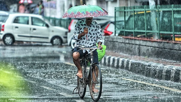
Thunderstorms with gusty winds 40-50 kmph expected November 4; farmers advised to suspend field operations
Temperature decline of 2-4°C anticipated from November 5 onwards as western disturbance influences the region
The Meteorological Centre Srinagar has issued a weather advisory for Jammu and Kashmir, forecasting a brief spell of precipitation accompanied by snowfall in higher altitude areas starting November 4. The union territory will experience predominantly dry conditions through November 3 before a fresh western disturbance brings atmospheric changes. According to the forecast, scattered places across the region may witness light rain or light snowfall over higher reaches during the evening and night of November 4, continuing through the morning of November 5. This weather pattern aligns with typical early winter conditions as the Himalayas transition toward sustained cold weather.
Current Weather and Temperature Range
Jammu city has been experiencing mainly clear skies with maximum temperatures around 29-30°C and minimum readings near 15-17°C throughout late October and early November. Kashmir Valley, including Srinagar and surrounding areas, records cooler temperatures with daytime highs of 14-16°C and overnight lows between 4-6°C. Gulmarg, the popular ski resort, anticipates 6-12 cm of fresh snowfall between November 4-6, marking the season's first significant accumulation at higher elevations above 3000 meters. The current dry spell with clear skies has allowed temperatures to remain slightly above seasonal norms, though this will change with the approaching weather system.
Western Disturbance Impact and Warnings
The India Meteorological Department (IMD) has issued specific warnings for thunderstorms with lightning and gusty winds reaching speeds of 40-50 kmph across Jammu-Kashmir-Ladakh-Gilgit-Baltistan-Muzaffarabad on November 4. Farmers have been advised to suspend agricultural operations on November 4-5 to avoid weather-related losses. Light to moderate rainfall and snowfall are expected across Northwest India during November 4-6 under the western disturbance's influence. From November 5 onwards, daytime and nighttime temperatures will drop significantly by 2-4°C in many areas, officially signaling winter's arrival across the region. Air quality (AQI) concerns persist in lower elevation areas, with Katra recording "unhealthy" levels, though mountain air remains clearer.


Jammu & Kashmir: Extended Forecast
Following the brief wet spell, generally dry weather will prevail again from November 6-13, with no significant precipitation expected. Daytime temperatures are expected to remain comfortable in Jammu (highs around 25-28°C), while valleys such as Srinagar will transition from mild early-November conditions to much colder nights, which may dip close to 3-5°C by mid-month. Winds across the region should stay light to moderate, with occasional brisk gusts near the higher passes. Overall, the mid-November weather will be ideal for travel, with clean, brisk air and increasing sunshine hours as winter sets in, especially away from the first week’s brief disturbance.