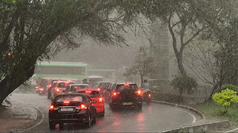
A fresh Western Disturbance is very likely to become active over Northwest India, including parts of Rajasthan, during the next 24 to 48 hours, a weather department official said on Monday.
Jaipur Meteorological Center in-charge Radheshyam Sharma said as a result of the disturbance, thunderstorms and rains will be seen in some parts of the state in the next 24 hours.
From Tuesday some parts of Jodhpur, Bikaner divisions of western Rajasthan and some parts of eastern Rajasthan, especially Jaipur and Bharatpur will experience thunderstorms, he said.
There is a strong possibility that the effect of this system will be maximum between May 24 and May 26. With the further intensification of this system after 48 hours, there is a possibility of a further increase in thunderstorms and rain activities, he said. Due to this, there is a possibility of a drop in temperature by two to four degrees Celsius, Sharma added.
According to the department, during the last 24 hours, 15 mm rain was recorded in Sahada of Bhilwara, 8 mm in Jhalrapatan of Jhalawar, 5 mm in Rashmi of Chittorgarh, 5 mm in Jhalawar, 3 mm in Gangadhar, 3 mm in Baran and 2 mm in Pachpahar of Jhalawar. Churu was the hottest place in the state on Monday at 45.7 degrees Celsius, according to the meteorological data.
Maximum temperature in Dholpur was recorded at 45.3 degrees Celsius, Tonk 45 degrees Celsius, Kota 44.8 degrees Celsius, Bikaner 44.6 degrees Celsius, Pilani 44.4 degrees Celsius, Banasthali 44.2 degrees Celsius and Anta 44.3 degrees Celsius.