The National Weather Service (NWS) meteorologists have issued a high wind warning for California, cautioning residents about strong winds anticipated to hit the region on Friday night. The warning comes as a part of a larger storm system that is expected to sweep through the area, bringing potentially hazardous conditions.
According to NWS senior meteorologist Victor Proton, the impending winds are associated with a system that is set to reach the central U.S. on Saturday. This system marks the second phase of a two-part weather event, with severe thunderstorms and a tornado threat looming over the affected areas.
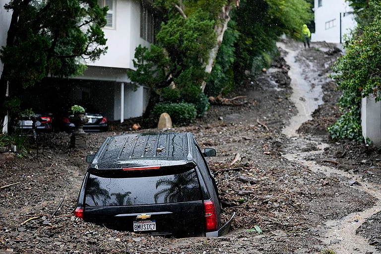
Forecasters have alerted that westward winds ranging from 30 to 50 miles per hour are likely to pummel California, with gusts potentially reaching up to 70 miles per hour, particularly along the slopes of the Mojave Desert. The NWS warning emphasizes the possibility of trees and power lines being toppled, resulting in widespread power outages. Additionally, travel conditions are anticipated to be challenging, especially for taller vehicles.
While snowfall is expected in certain high-elevation areas of the Sierra Nevada Mountains, Proton reassured that such weather patterns are typical for this time of year. Alongside the winds, thunderstorms are forecasted to strike the southern Sierra Nevada mountains on Friday afternoon, as stated by NWS Hanford through their social media platform.
The office's post highlighted the potential for strong thunderstorms in the Sierra Nevada region, extending into the foothills and eastern San Joaquin Valley. Alongside lightning, these storms may bring strong winds and small hail, posing additional risks to residents.
A graphic shared by the NWS office delineated the areas with the highest risk of thunderstorms, including Shaver Lake, Lake Thomas Edison, Oakhurst, Mariposa, Wawona, Yosemite Valley, Tioga Pass, and Hetch Hetchy.


In light of the warning, the NWS urged individuals to remain on lower levels of their homes during the windstorm and advised against approaching windows. Precautions were also advised for those driving, with a reminder to watch out for falling debris and tree limbs.
The warning, issued late Wednesday night, coincided with approximately 7,700 Californians experiencing power outages as of Thursday morning.
Meanwhile, AccuWeather meteorologists have issued a grave report concerning severe thunderstorms expected to impact the central U.S. from Thursday to Saturday. Described as "one of the most widespread severe weather events so far in 2024," the storm is forecasted to unleash tornadoes, hail, and damaging winds across multiple states, posing a significant risk to lives and property.
With the arrival of the first storm on Thursday, followed closely by the second system, the severe weather is expected to persist throughout the weekend, amplifying the urgency for preparedness and caution among affected residents.