Before the Global Positioning System pinned its blue dot to every street, a city was read like a palimpsest—its layers of water, mud, and masonry visible to those who knew where to look. This is where cartography came in: a method to record not just streets, but the topography, the waterways, the hidden contours of a city in motion.
Celebrating People
From Xuanzang’s Trails To Partition’s Shadows: Maps That Tell Stories Of Loss And Time
From Xuanzang’s 7th-century pilgrimage and fading rivers on old maps to the haunting stories of Partition, the cartography of memory reveals how borders, cities, and landscapes live on in our collective imagination

Anwesha Santra
5 October 2025
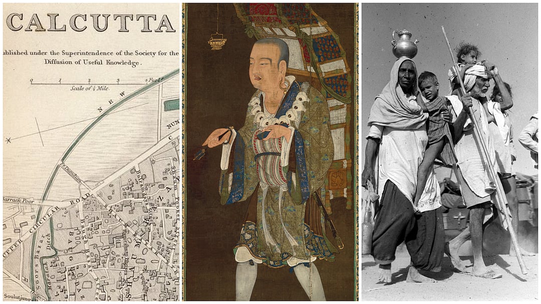
From vanished Kolkata creeks to Xuanzang’s pilgrim routes and Partition’s forgotten homes, cartography reveals how landscapes preserve memory and history across centuries Photo: Internet Archive, Shutterstock
From vanished Kolkata creeks to Xuanzang’s pilgrim routes and Partition’s forgotten homes, cartography reveals how landscapes preserve memory and history across centuries Photo: Internet Archive, Shutterstock
CLOSE