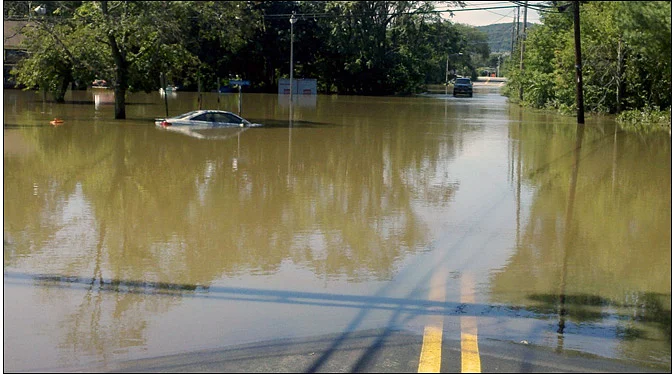
Much of New Jersey and the Catskills were drying out Wednesday morning after heavy rain, but a Flood Watch remains in effect for Long Island, the Hudson Valley and Connecticut.
Rainfall totals varied widely, Allentown recorded the highest at 9.1 inches, while Warwick, Bridgeport and parts of New York City saw roughly 2-4 inches.
North Jersey was hit hardest as fast-moving floodwaters caused widespread damage and dozens of rescues on Tuesday.
New Jersey and the Catskills were drying out by Wednesday morning after heavy rain soaked the region a day earlier, however, flooding concerns persisted across the US's Tri-State area, according to ABC 7 New York.
An AccuAlert remained in effect, with a Flood Watch continuing for Long Island, the Hudson Valley and Connecticut, where downpours were expected to persist through sunrise.
Rainfall totals from the storm varied sharply by location, per the report's estimates, Allentown saw the heaviest deluge at 9.1 inches, while areas including Warwick, Bridgeport and parts of New York City recorded roughly 2 to 4 inches.

North Jersey Bears The Brunt
The storms hit North Jersey especially hard, with fast-moving floodwaters causing widespread damage and triggering dozens of rescues on Tuesday, CBS New York reported.




In Hawthorne, an overflowing Goffle Brook carried branches and logs through the area, tearing up nearby Goffle Road, according to the report. Residents said the road was already in poor condition, but the flooding left it largely impassable, video from Tuesday showed the road fully submerged, with mud and debris later leaving the asphalt cracked and broken.
In neighbouring Woodland Park, first responders evacuated more than 60 people, including children and staff, from two daycare centres, per CBS New York. High-water rescue vehicles were deployed to safely move 11 children and staff out of Kiddie University Daycare.
Resident Eric Papienuk told the outlet his family spent the afternoon out on their street clearing storm drains to keep rainwater from backing up into their home, describing how quickly the rain intensified and how fast water began piling up. Several other North Jersey towns also saw flash flooding as the storms moved through, the report said.
What's Next For The Region
Steady rain was expected to ease into scattered showers through Wednesday afternoon, with a few breaks of sunshine and highs reaching the upper 70s, per ABC 7. A few more showers are possible Thursday, while Friday should bring more sunshine with only a slight chance of an isolated thunderstorm.
The outlet's forecast pointed to a mostly dry weekend, with the next chance of storms arriving late Sunday, and a partly cloudy pattern with isolated shower or thunderstorm risk continuing into Monday and Tuesday.