Heavy to very heavy rain is likely in North Bengal districts today, especially Darjeeling, Kalimpong, and Alipurduar
Yellow alert for widespread rain and thunderstorms in South Bengal through September 16
Kolkata sees periodic showers, with temperatures between 27°C and 31°C
Gusty winds (30–40 kmph) and lightning risk are advised against taking shelter under trees
Heavy Rain Alert in West Bengal: IMD Issues Warnings Across North and South Regions
West Bengal faces a yellow alert as heavy rain and thunderstorms are forecast across South Bengal, continuing until September 16.

Summary
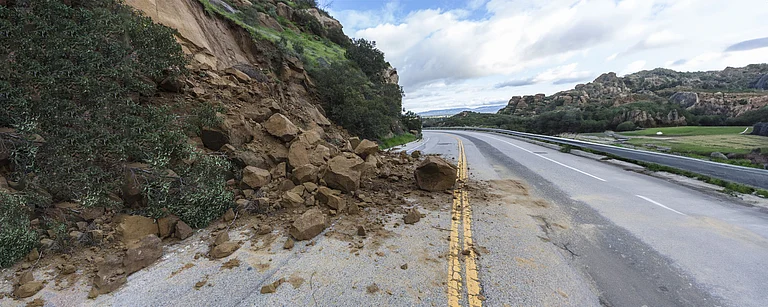
West Bengal remains under active monsoon influence as the India Meteorological Department (IMD) has issued heavy rainfall alerts for both North and South Bengal districts on September 12, 2025. Rivers swollen from recent rains pose flood and landslide threats in hill regions, while coastal and deltaic areas face waterlogging risks.
North Bengal Forecast and Alerts
North Bengal districts, including Darjeeling, Jalpaiguri, Kalimpong, Alipurduar, Coochbehar, and North Dinajpur, are expected to receive heavy to very heavy rainfall (7–20 cm) at isolated places today. Thunderstorms, lightning, and gusty winds up to 40 kmph accompany these showers. Tea estates in Alipurduar reported 8 cm at Sevoke and 4 cm at Mahua Tea Estate in the last 24 hours, highlighting the region’s vulnerability to sudden downpours.

South Bengal Forecast and Alerts
South Bengal, including Kolkata, Howrah, South 24 Parganas, North 24 Parganas, East and West Midnapore, Bankura, Birbhum, and Murshidabad, faces a yellow alert through September 16 for light to moderate rain with isolated heavy falls (7–11 cm). Thunderstorm activity remains likely, especially over coastal districts prone to flooding. Citizens are advised against taking shelter under trees or near water bodies.
Kolkata Weather Update
Kolkata recorded a minimum of 27°C and a maximum of 31°C with periodic rain showers on September 12. Humidity hovered around 70–75%, with visibility reduced during downpours. The UV index remains moderate at 6 when skies clear briefly. The 10-day forecast shows continued rain and thunderstorms through September 16, gradually tapering to partly cloudy skies by September 18.

Impact and Precautions
Waterlogging has been reported in low-lying urban areas and along riverbanks. Farmers face potential crop damage, while tea garden workers in the Darjeeling hills confront landslide risks. The IMD emphasizes:
Avoiding outdoor activities during thunderstorms
Steering clear of flooded roads and underpasses
Securing loose objects susceptible to gusty winds
The monsoon trough remains active over the sub-Himalayan region, driving sustained rainfall. While some relief is expected by September 17, residents and authorities must stay vigilant for further weather developments and heed official advisories.
Advertisement
Published At: