The IMD says a deep depression over the Bay of Bengal is likely to cross the Odisha-West Bengal coast, bringing heavy to extremely heavy rainfall
Odisha, West Bengal, Jharkhand, Chhattisgarh and neighbouring states are expected to receive widespread rain along with strong winds and rough sea conditions
Authorities have warned of flooding, waterlogging and disruptions as the system strengthens the southwest monsoon over eastern India
Deep Depression To Hit Odisha-West Bengal Coast: Why Extreme Rainfall Is Expected Across Eastern India
A deep depression over the Bay of Bengal is expected to trigger widespread heavy to extremely heavy rainfall, strong winds and flooding across parts of eastern India as it crosses the Odisha-West Bengal coast

Summary
A deep depression lay over Northwest Bay of Bengal and adjoining areas of West Bengal-North Odisha coasts, with the IMD to issue warnings of extremely heavy to heavy rainfall in Eastern and central India over the next week.
The IMD has forecast rainfall over Maharashtra, Odisha, Himachal Pradesh, East Rajasthan, Chhattisgarh, Gujarat, Konkan and Goa, West Bengal and Sikkim.
Where is the deep depression now?
The monsoon trough lies south of its normal position in mean sea level. Yesterday’s Depression over northwest Bay of Bengal and adjoining areas of North Odisha-West Bengal coasts intensified into a Deep Depression. As per the IMD, the deep depression over northwest Bay of Bengal and adjoining areas of West Bengal-North Odisha coasts moved very slowly northwards. It is very likely to move nearly northwards, skirt Sagar Island and cross West Bengal-North Odisha coast between Balasore and Canning close to Haldia.
Sea condition is very likely to be rough to very rough over northwest Bay of Bengal and along and off Odisha, West Bengal and north Andhra Pradesh coasts.
When and where will it make landfall?
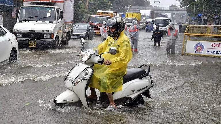
India continues to face an uneven southwest monsoon season despite signs of revival, with the country recording a 15% cumulative rainfall deficit between June 1 and July 26, according to the IMD. The IMD said that extremely heavy rainfall has been recorded over Maharashtra, very heavy rainfall has been recorded over Odisha, heavy rainfall has been recorded over Himachal Pradesh, East Rajasthan, Chhattisgarh, Gujarat, Konkan and Goa, Sub-Himalayan West Bengal and Sikkim.
Why is IMD warning of extremely heavy rain?
A deep depression is a strong low-pressure system. It has formed over northwest Bay of Bengal and adjoining areas of West Bengal-North Odisha coasts moved very slowly northwards south-southeast of Sagar Island (West Bengal), Digha, Diamond Harbour, Canning and Balasore. It is very likely to move nearly northwards, skirt Sagar Island and cross West Bengal-North Odisha coast between Balasore and Canning close to Haldia.
Advertisement
The trough from cyclonic circulation over Southwest Rajasthan and neighbourhood to cyclonic circulation associated with Deep Depression over Northwest Bay of Bengal and adjoining areas of West Bengal-Odisha coasts across Madhya Pradesh, Chhattisgarh and Jharkhand at 3.1 km above mean sea level persists.
Which states are likely to be affected?
As per IMD, fairly widespread to widespread rainfall will be experienced by Himachal Pradesh, Jammu-Kashmir-Ladakh-Gilgit Baltistan-Muzaffarabad and Uttarakhand, Haryana Chandigarh & Delhi and Punjab, Madhya Pradesh, Chhattisgarh, Andaman & Nicobar Islands, West Bengal, Arunachal Pradesh, Assam, Meghalaya, Nagaland, Manipur, Mizoram and Tripura, Odisha, Goa, Maharashtra, Karnataka, Kerala, Maharashtra and Lakshwadeep.
The district administration conducted rescue operations amid a flood-like situation in Dholka, Viramgam and Dhandhuka in Gujarat on Monday, ANI reported.
Speaking to ANI on the state disaster management, Special Secretary of Disaster Management, Himachal Pradesh, Pushpendra Rana said, “As of today, we have recorded around 19 flash flood incidents and 4 cloudbursts. Over 120 roads remain disrupted, and drinking water supplies have been affected. Fifteen to sixteen people have lost their lives during this monsoon season. The State Disaster Management Authority is making every effort to minimise casualties.”
Advertisement
On the state weather forecast, Senior Scientist IMD Himachal Pradesh, Sandeep Kumar Sharma told ANI, “Over the past 24 hours, light to moderate rainfall has been recorded in the districts of Shimla, Solan, Sirmaur, Bilaspur, Kullu, and Kangra. Kandaghat in Solan district received the highest rainfall, around 100 mm, followed by Kahu in Bilaspur with 40 mm. Shimla city recorded approximately 16 mm.”
How can a deep depression intensify monsoon?
Monsoon Trough is an elongated low-pressure area which extends from heat low over Pakistan to Head Bay of Bengal. This is one of semi-permanent feature of monsoon circulation. northward migration of this trough leads to break monsoon condition over major part of India and heavy rains along foothills of Himalayas and sometimes floods in Brahmaputra river.
What is the risk of flooding and waterlogging?
Fishermen are advised not to venture into northwest Bay of Bengal and along and off Odisha, West Bengal and north Andhra Pradesh coasts till morning of July 29. Fishermen are advised not to venture into central and northeast Bay of Bengal during till July 28.
Advertisement
Published At: