A team of surveyors from India is expected to set out on a Rs 5 crore expedition soon to confirm if the highest peak of the world is maintaining its stature or has shrunk a bit.
After doubts expressed by geologists worldwide if the massive earthquake that devastated Nepal on this day two years back could also have altered the height of the Mount Everest in either direction, the Survey of India took interest in a project to re-measure the height of the Everest, nestled on the Nepal-Tibet/China border, in the upper reaches of the Himalayas.
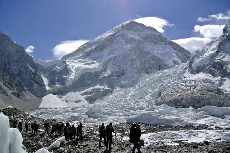
On 25 April 2015, an earthquake of 7.8 magnitude shook Nepal killing over 8000 people. Such was the seismic strength that it is believed to have altered the contour of Mt Everest. Satellite imagery analysed by European scientists then had suggested a possible diminution of about an inch in the mountain’s height.
Advertisement
Thus, to clear the doubts over the altered position of one of the youngest mountain of the world, the oldest scientific organisation in the country, set up in 1767 by the East India Company, had volunteered the assessment.

“To measure the height of Everest is a matter of pride for us. The outcome of the investigation would help the geologists in understanding the tectonic plate movements etc and in quake predictions,” Surveyor General of India Swarna Subba Rao told Outlook.
He added, “The survey is also to commemorate Survey of India’s 250th anniversary this year.”
It was in 1856, that the Survey of India, with the help of the “Great Trigonometrical Survey” commissioned to measure the entire Indian sub-continent, established Mt Everest as the highest peak in the world.
Advertisement
The peak was re-measured by the Survey of India in 1955 and gave the present height of 8848 metres, officially recognised by Nepal.

Surveyor General of India Subba Rao
Now again, the SoI has sent a formal proposal to Nepal to “re-assess the Everest in a joint scientific exercise”, through the Ministry of External Affairs and are expecting a go-ahead in a few days.
“The cost of the project - about Rs five crore - would be borne by us. The expedition would have about 30 people including some Sherpas. There would be surveyors from Nepal too. We have already shortlisted the surveyors from our side, who would undergo a 15 day mountaineering course at Joshimath to be made fit for the arduous task,” Rao said.
The Survey of India would employ two methods for measurement of the Everest height.

One - by the modern GPS devices set in relative mode, positioned at various points with one at the summit, to get the accurate coordinates. The other is by the old school trigonometric method (as was the case in 1856 too) using the Theodolite, a surveying instrument; from afar positions like 50-70 KMs from the Everest.
“Our surveyors would go up till the Everest base camp and a little beyond while professional mountaineers would take the GPS on to the top,” said Nitin Joshi, director of Geodetic and Research Branch of SoI at Dehradun.